Ship-to-shore: Underwater Perception for Amphibious Operations
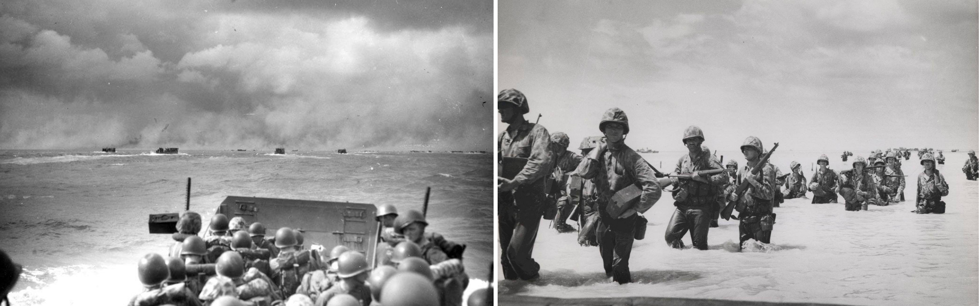
Marines of 2nd Marine Division assaulting the small island of Betio in the Tarawa Atoll
On November 20th 1943, US forces in the Pacific launched their invasion of the small island of Betio in the Tarawa Atoll. Despite extensive planning, incomplete hydrographic information and an inaccurate understanding of local tides left many landing craft stranded on a coral reef hundreds of meters from the beach. Marines were forced to disembark and advance through chest-deep water under heavy enemy fire, resulting in significant casualties.
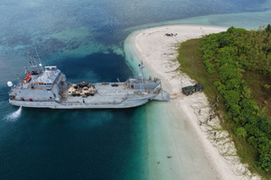
Though the battle for Tarawa took place over 80 years ago, having an accurate understanding of the seafloor remains a major factor in modern amphibious operations. With many nations modernizing landing craft fleets along with the introduction of amphibious USVs, underwater perception is a critical element for effective ship-to-shore navigation.
Whether conducting contested beach landings, humanitarian assistance, or expeditionary logistics, these platforms must safely navigate shallow, dynamic, and often poorly surveyed coastal environments.
Navigating the Littoral

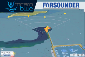
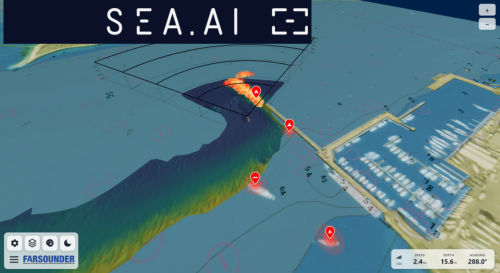
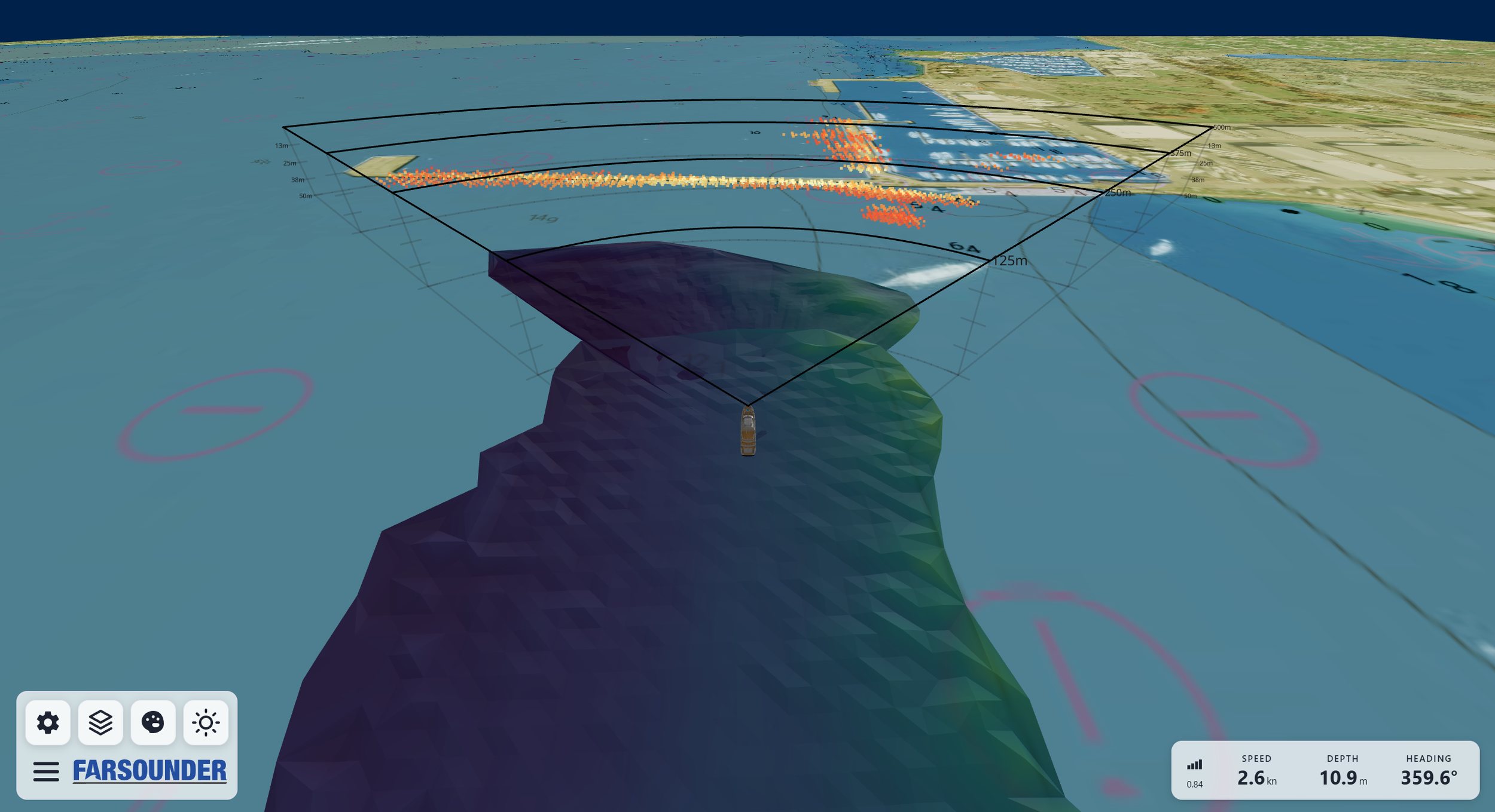
An Argos 1000 detecting an uncharted reef while surveying a coastline
FarSounder’s Argos 3D Forward Looking Sonars are being installed on a growing number of modern landing craft and USVs, giving operators critical insight into the subsurface environment ahead.
Providing real-time underwater perception, FarSounder’s Argos sonars can reliably map the seafloor ahead and detect obstacles in the water column at distances out to 1000m. This forward-looking perspective allows operators to identify hazards before they become navigational constraints, improving route selection while reducing risk during the most critical phases of an amphibious approach.
Mapping the Route to Shore
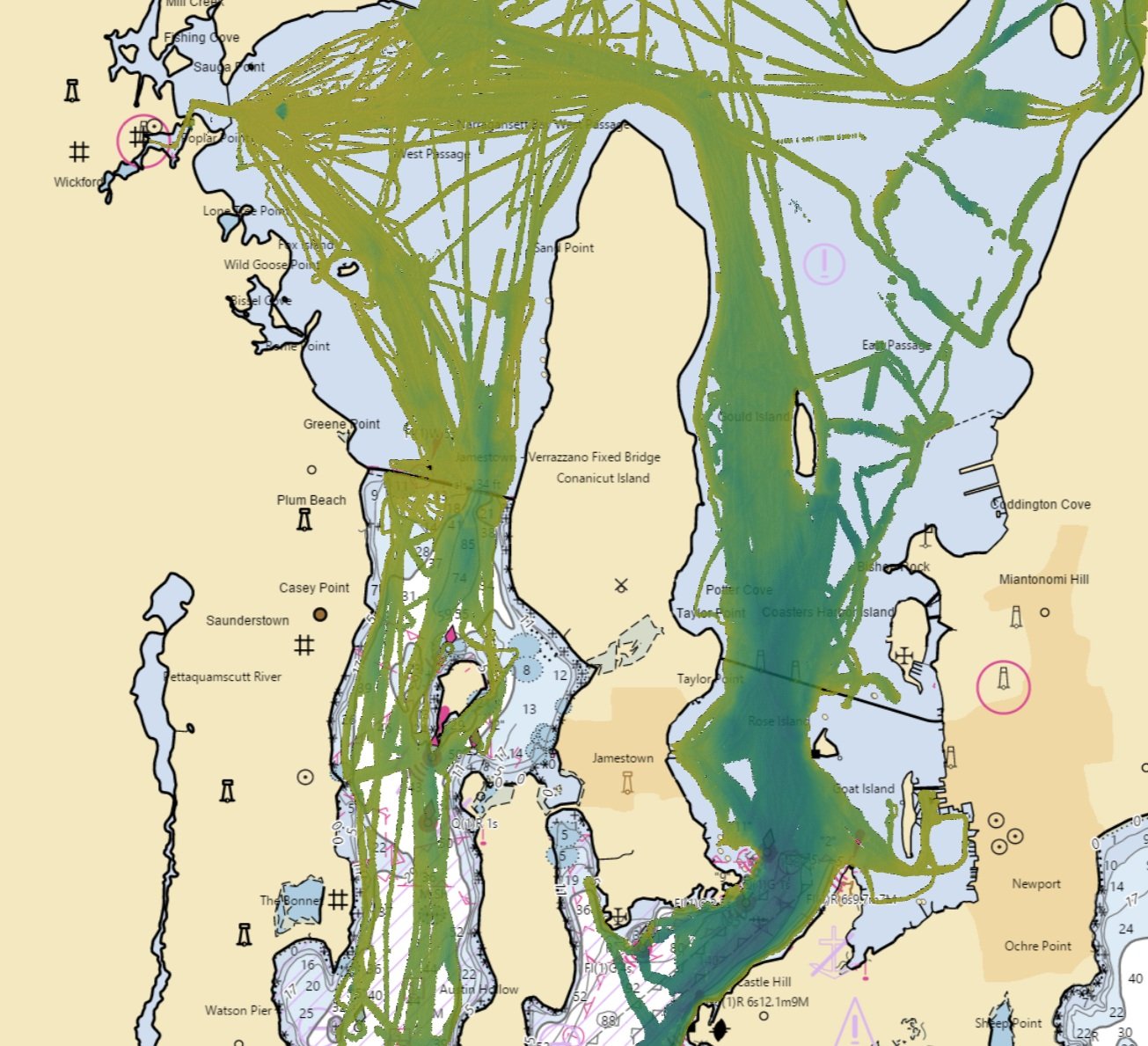
As the vessel transits, Argos sonars continuously gather a history of the depth data through its Local History Mapping feature. Rather than relying solely on existing outdated hydrographic charts, operators build their own high-resolution bathymetric record during the mission. Previously traveled routes can be recalled to support a safe departure from the beachhead, reduce uncertainty during subsequent approaches, or validate alternate landing lanes.
Bathymetric data collected by Argos could be compiled and shared across multiple vessels or command-and-control systems, enabling a vessel surveying an approach to provide the seafloor information to follow-on landing craft, autonomous platforms, or mission planners. In an amphibious context, this type of shared underwater picture could help establish a common understanding of the operating environment before additional forces approach the beachhead.
Installation on Amphibious Vessels
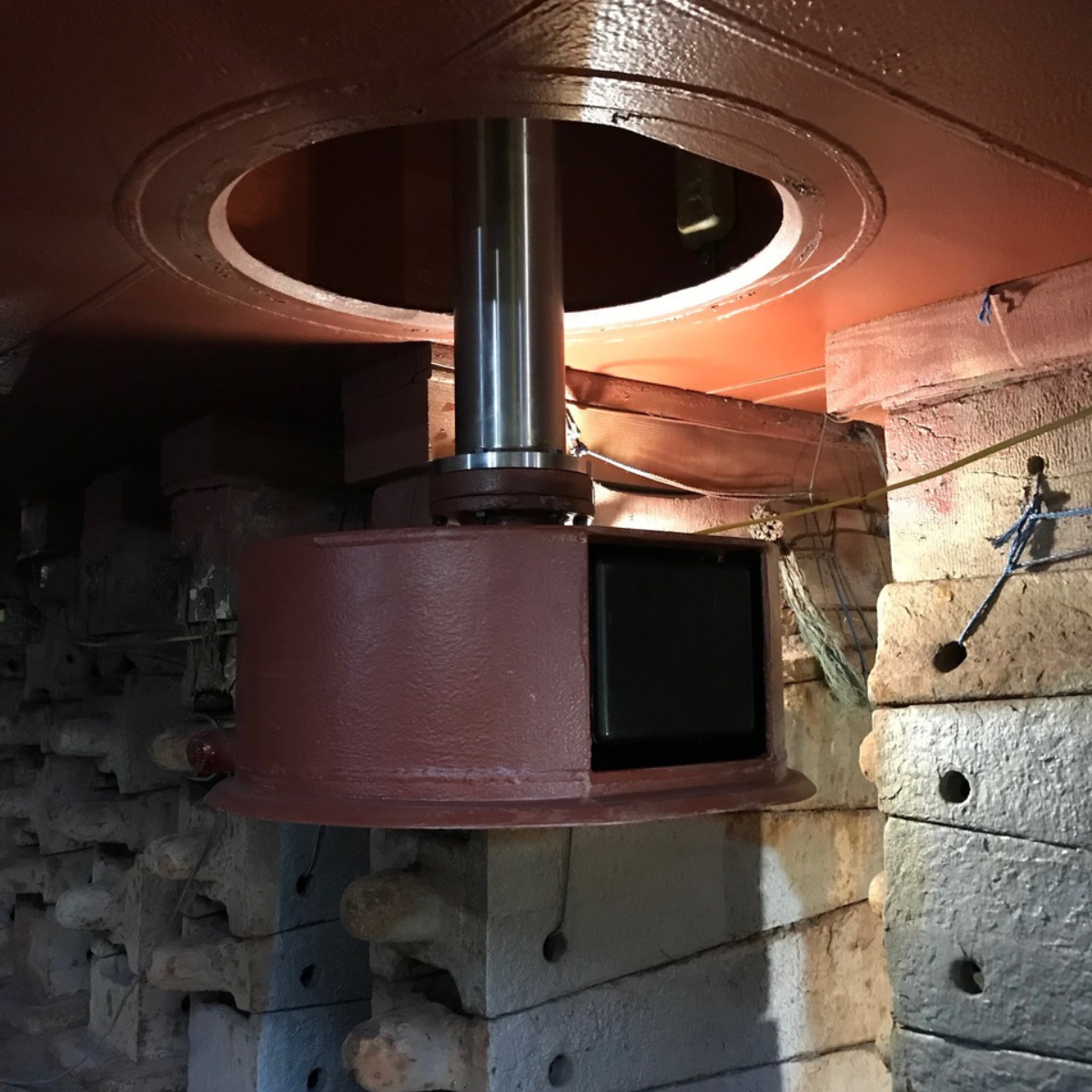
Argos 1000 hoist installation
Argos can be installed either as a fixed hull-mounted system or on a retractable hoist. For many landing craft applications, the hoist configuration provides additional operational flexibility. The sonar can be deployed during the approach to survey the landing route and then retracted flush with the hull before the vessel reaches the shoreline, protecting the sonar transducer during beach contact while preserving full forward-looking capability throughout the transit.
Unmanned and Autonomous Operations
For USVs operating without a crew onboard, Argos 3D Forward Looking Sonar provides a critical layer of underwater perception that complements above water sensors by addressing one of the most challenging aspects of littoral navigation, the underwater environment.
Argos sonars are currently installed on a variety of unmanned and autonomous vessels ranging from smaller 6m platforms to larger MUSVs and LUSVs variants. Remote operators can access real-time sonar data through multiple display options. Autonomous platforms can receive fully processed 3D sonar data through the system’s ethernet-based machine interface, allowing the vessel to make intelligent navigation decisions along its route.
Argos sonars currently support various direct integrations with above water sensors like cameras and radar, (W)ECDIS systems, and autonomy platforms. Through FarSounder’s SDK, developers can easily access previously recorded sonar data to support new integrations.