Vector Data Extraction from Forward-Looking Sonar Imagery for Hydrographic Survey and Hazard to Navigation Detection
This paper was presented at Oceans 2016 in Washington D.C.
Authors:
R. Glenn Wright
GMATEK, Inc., Annapolis, MD USA
World Maritime University, Malmo, Sweden
Cheryl M. Zimmerman
FarSounder, Inc.
Warwick, RI USA
Using 3D forward looking sonar to detect and mark hazards.
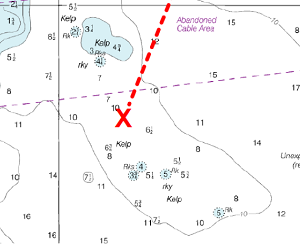
Abstract - This paper describes research to determine the effectiveness of forward-looking sonar as a means to safely navigate vessels in frontiers such as the Arctic and other regions that may be lacking recent or comprehensive hydrographic survey. Key elements of this investigation include the range at which valid measurements may be taken, uncertainty in measurement, confidence level of the measured value and resolution available to detect underwater hazards affixed to the bottom and suspended within the water column to provide time sufficient to enable the crew to take action to alter course and/or speed to avoid casualty. An additional factor involves examining forward-looking sonar measurements as a means to survey shallow sea bottom where hydrography data does not exist or is not accurate, potentially offering a valuable resource to supplement scarce national hydrographic office assets to accomplish this task. An assessment of viability is also made regarding compliance with the International Hydrographic Organization (IHO) standards for hydrographic surveys that form the basis for soundings that appear on navigation charts.
Read the full paper.