What Lies Ahead
Forward-Looking Sonar lets you see what’s under the surface in front of you
WHEN NAVIGATING IN UNKNOWN and uncharted waters, it becomes even more important to know what lies ahead, including underwater hazards and shallow bottoms. FarSounder’s Argos Forward Looking Sonar (FLS) systems are currently the only products on the market capable of generating a real-time, three-dimensional image at navigationally significant ranges of what is under the water ahead of your vessel. These systems are operational and reliable at ranges of up to 1,000 meters (half a nautical mile) and speeds up to 25 knots.
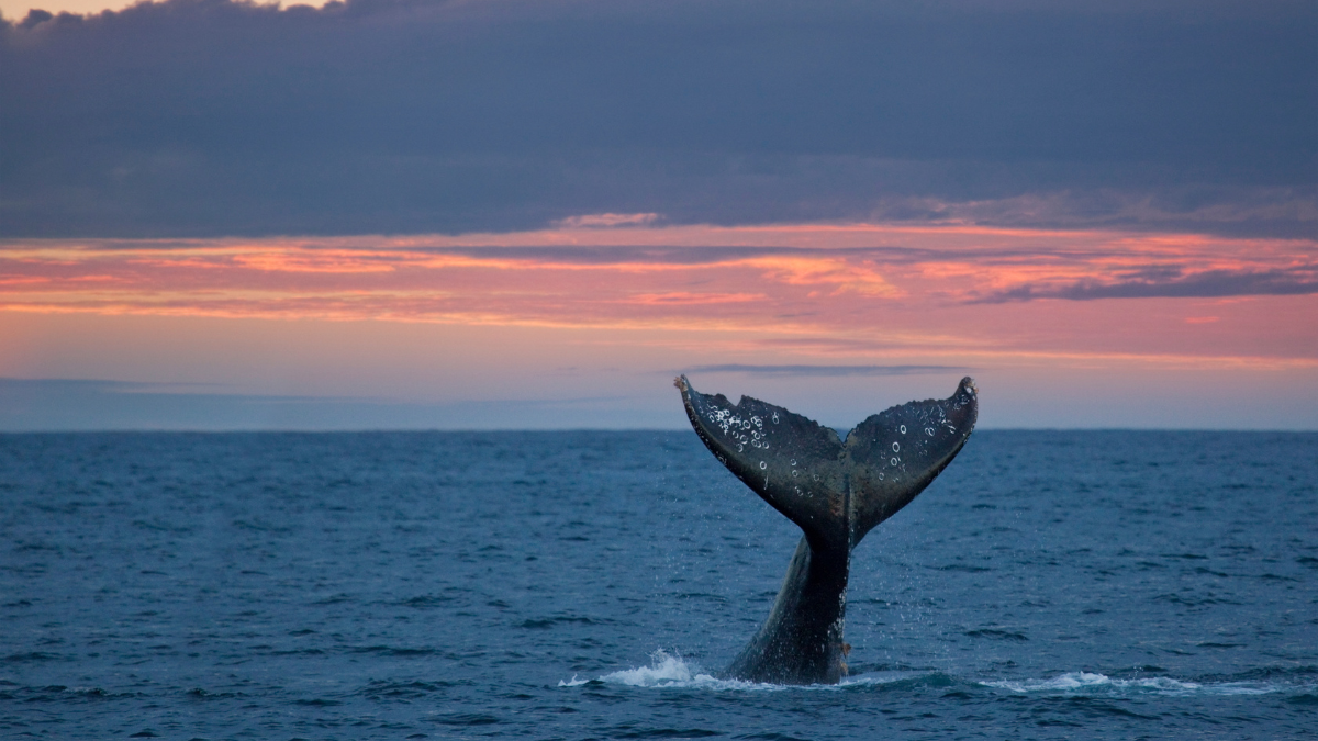
These systems can spot hazards such as ice, reefs, whales, shipping containers and shallows. The data is displayed on a chart overlay and in a 3D view, making it easy to understand what lies ahead under the surface. It is refreshed at every ping, eliminating wait time. Users can quickly distinguish between the seafloor and dangerous in-water obstacles through the system’s processing of depth measurements and color mapping.
In-water detections are mapped to color based on their frequency out to the full range of the sonar. Once a target comes within the system’s bottom mapping range, it is color mapped to depth. The information presented on the 3D display and the 2D on the chart overlay gives users a top-down perspective of what the sonar is detecting on top of a nautical chart system. This enables users to easily correlate in-water targets on the sonar’s display to the locations of potential navigation obstacles.
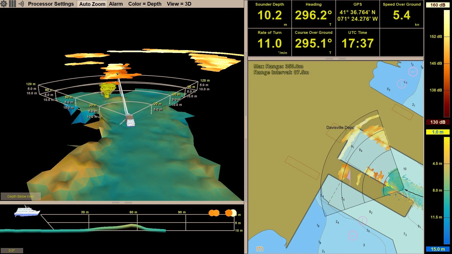
Depth measurements and color mapping are presented in a 3D display and on a 2D nautical chart
Local History Mapping (LHM) is an Argos capability that allows users to build a map of the seafloor where the vessel recently sailed and displayed in both views. Since Argos has a wide horizontal field-of-view ahead of the vessel, with a single pass of the sonar, users can map a much wider swath of the seafloor than a standard echosounder.
By default, each vessel’s LHM lives on board the Argos bridge computer, but FarSounder’s data-sharing program allows users to anonymously share data across the fleet. Program participants can back up their LHM data to FarSounder’s cloud service and receive a tide-corrected, aggregate map built from LHM contributions. This data is also shared with the global community via the IHO’s crowd-sourced bathymetry database and Seabed 2030.
With the latest SonaSoft Software release, citizen-science efforts have been expanded by inviting users to play an even greater role in safeguarding marine environments through reporting whale and trash observations.